
Description
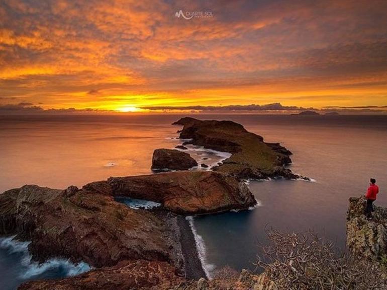
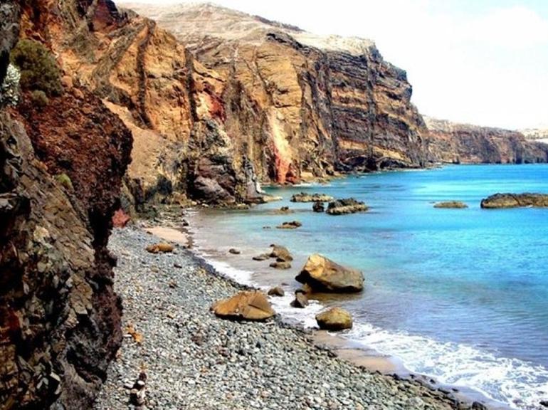
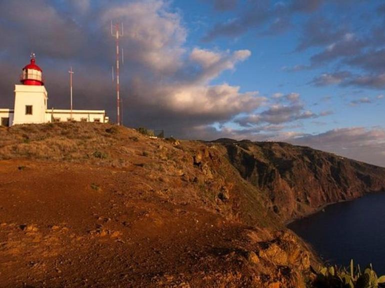
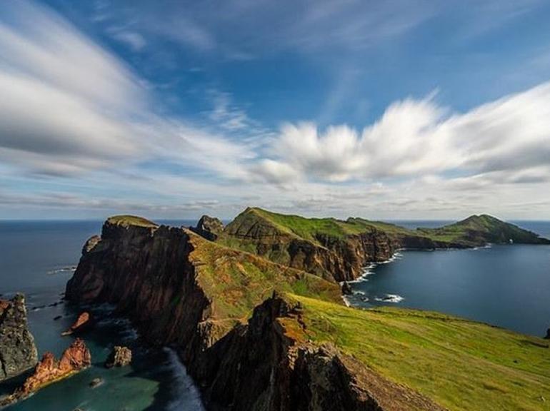
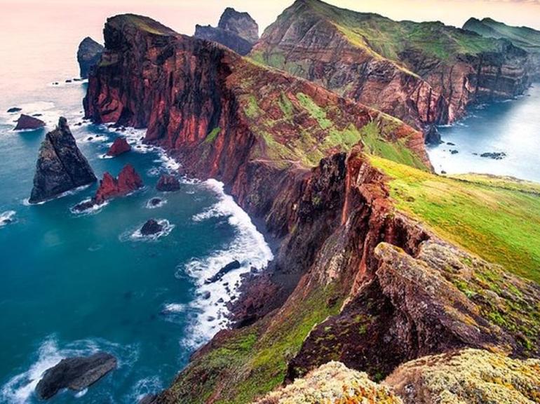
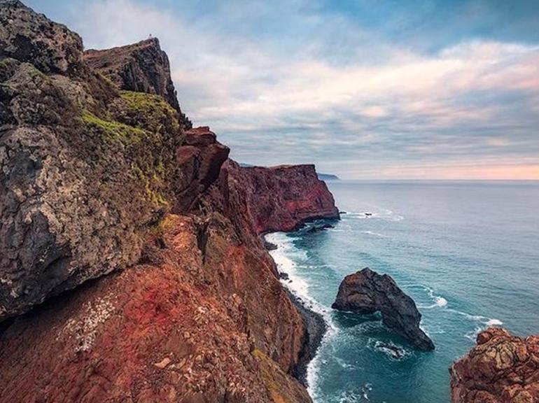
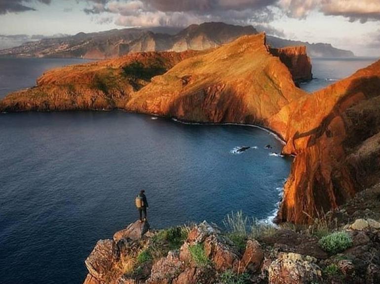
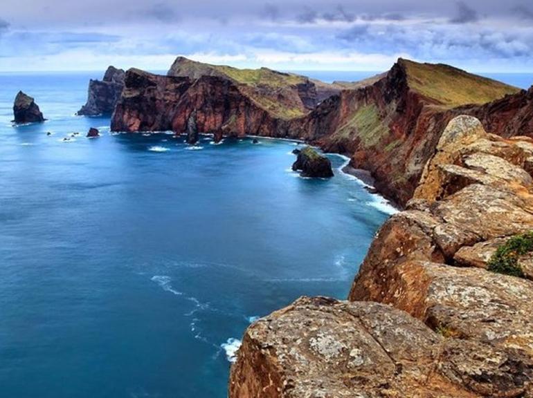
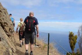
The trail follows S. Lourenço Point, the eastern-most peninsula of Madeira island, named after the caravel sailed by João Gonçalves de Zarco, one of the three discoverers of Madeira island, who on coming near this piece of land shouted to his ship “São Lourenço, that’s enough!”.
This peninsula is volcanic in origin, and is mainly made of basalt, although there are also some limestone sediment formations. At the end of the Point there are two islets: the Cevada, Metade or Desembarcadouro Islet, and the S. Lourenço Point, Farol or Fora Islet. The stone partition marks where the Regional government’s land begins, and is part of the Madeira Natural Park. The peninsula is classified as a partial natural reserve and the Desembarcadouro Islet is a total natural reserve. All the land and sea by the North coast, up to a depth of 50m, is part of the European network of important community sites - Natura 2000.
SENSATION DETAILS
-
For lovers of:

Culture and a View.
-
Risk level:

Low
-
Duration:

08:00 Hours
-
GPS Location:

Lat:32.6600368N Long:16.9596901W
-
Meeting point:

At your Accommodation (Funchal)
-
Translator:

Human
-
Translation for:

English, Portuguese
USEFUL INFORMATION
-
Customers:

Babies do not count
Minimum: 1
Maximum: 15
-
Children:

Allowed Up to the age of 11
-
Babies:

Allowed Up to the age of 3
-
Reservation:

Automatic
PRICES (PER PERSON)
-
Adults:

42.36 €
-
Children:
23.54 €
-
Babies:
23.54 €
PAYMENT TO PROVIDER
-
Pays accepted:


-
Vouchers accept:

Paper or Electronic
DETAILED START TIMES (2024)
-
Month(s)
January - December
Hour(s)
09:00h
DETAILED START TIMES (2025)
-
Month(s)
Hour(s)
No start times defined yet for next year
Other Suggestions
SENSATION LOCATION